Vineyard Flood Modelling Maps for Riverland GI
The document attached shows Riverland GI vineyard flood modelling, created on 16 December 2022.
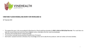
- The opaque blue-grey is the area predicted to flood based on flood modelling undertaken by DEW in 2014 at 250 GL/day flow rate. This model does not take into account levee bank and other flood mitigation works undertaken since the model was developed.
- The green area markings denote vineyard plantings.
- The solid blue markings denote potentially flooded areas of vineyards.
- Red markers represent wineries to the best of our knowledge.
DOWNLOAD
VINEYARD FLOOD MODELLING MAPS FOR RIVERLAND GI
Vineyard Flood Modelling Maps for Lower Murray Zone – other
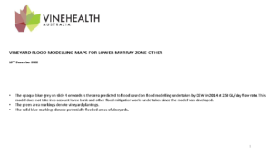
The document attached shows Lower Murray Zone – other vineyard flood modelling, created on 19 December 2022.
- The opaque blue-grey on slide 4 onwards is the area predicted to flood based on flood modelling undertaken by DEW in 2014 at 250 GL/day flow rate. This model does not take into account levee bank and other flood mitigation works undertaken since the model was developed.
- The green area markings denote vineyard plantings.
- The solid blue markings denote potentially flooded areas of vineyards.
DOWNLOAD
VINEYARD FLOOD MODELLING MAPS FOR LOWER MURRAY ZONE – OTHER
If you require assistance identifying your vineyard in the attached maps, please contact 0412 859 882.