Vinehealth Australia is frequently asked by Vineyard Owners why background imagery on supplied maps does not always represent the current situation.
Vinehealth works with other government agencies (including government departments, local councils, and other statutory authorities) on a cost-sharing basis to acquire aerial imagery. Generally, a wine region is re-flown every three to five years, however, this frequency is driven by interest and investment.
Procurement for each government imagery capture occurs through a government procurement panel, overseen by the Department of Environment and Water (DEW). This panel determines the set of specifications on which imagery suppliers tender for each capture; including image resolution, capture timing, cost, and number of bands (true colour, multispectral, hyperspectral). The imagery is then made available to the organisations that have contributed funding and/or are part of LocationSA. Access to the imagery is then made public thereafter at a fee.
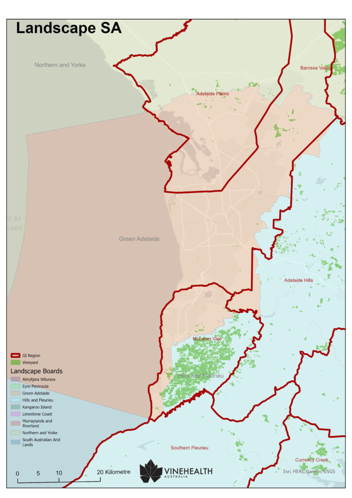
With the majority of wine regions being non-metropolitan, the frequency of these captures is strongly driven by the needs of the individual Landscapes Boards under DEW. Despite GI boundaries and Landscapes regional boundaries not completely aligning, you can view which Landscapes Region intersects with your wine region here. Aligning with Landscapes Boards is an opportunity to promote the need for new imagery in your region.
The most recent aerial imagery capture Vinehealth Australia has contributed funding towards is the full extent of the Limestone Coast. We expect to receive this imagery mid-year, after which time vineyard maps will be updated.